Geography of Homelessness
- Carousel - Peoplewyze
- People
- Planning
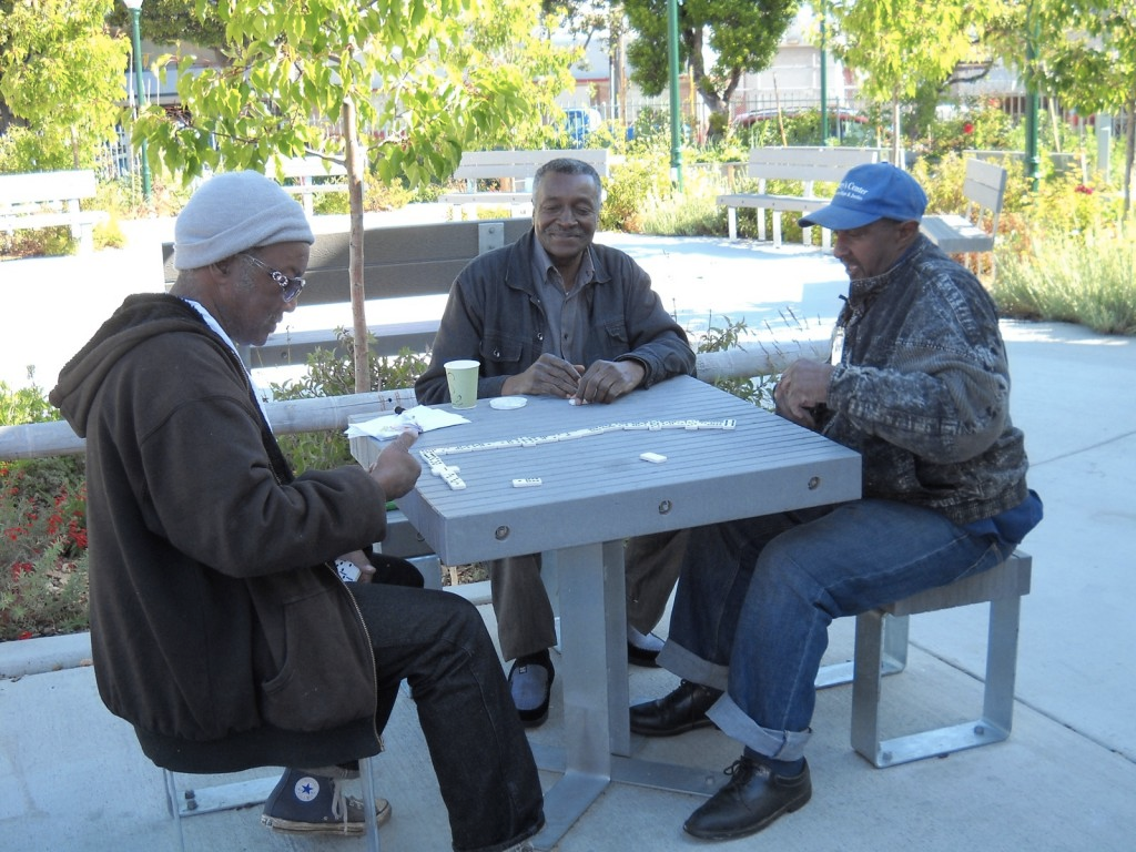
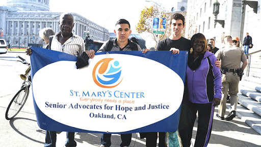
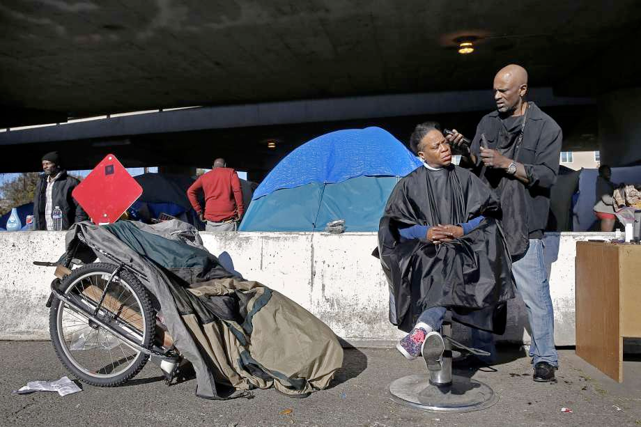
Streetwyze partnered with people experiencing homelessness, St Mary’s homeless shelter, and UCSF’s Center for Vulnerable Populations to use real-time data, location-based data, and data visualization to help homelessness individuals over 50 navigate public and private spaces and access life-saving resources. Through Streetwyze’s secure, state of the art, private accounts, people experiencing homelessness used “activity mapping” to share the challenges they face navigating communities, the assets and resources they rely on, and places/space that bring them peace and joy. The Geography of Homelessness project is important because it demonstrates how homeless populations can use the Streetwyze platform and process to create a local knowledge ecosystem that can help make visible the invisible unmet basic social needs of one of our nation’s most vulnerable populations.
Key Findings/Stats:
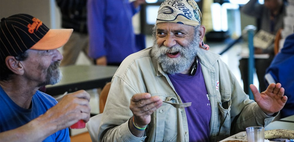
- Public libraries are critical resources where homeless individuals are treated with respect and dignity.
- People experiencing homelessness travel long distances on a daily basis to access the resources they need (15 miles+ per/day, crossing 2-3 city boundaries).
- Yet, public transportation is often experienced as unaffordable, unpleasant, and unsafe as well as a critical place for shelter during inclement weather.
- People experiencing Homelessness identified water and parks as places and spaces of peace and joy.
- This finding encouraged homeless advocates and cities to rethink the spaces and places where homeless populations feel peace and joy and how we can connect people experiencing homelessness to more places that increase a sense of belonging and community connectedness.
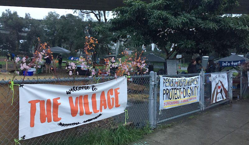
- As forces of gentrification and displacement grow, homeless individuals see local “homeless friendly” small businesses and residents pushed out, bringing in less-friendly newcomers, contributing to a loss of an important sense of community.